Field Layer Comparison Tool
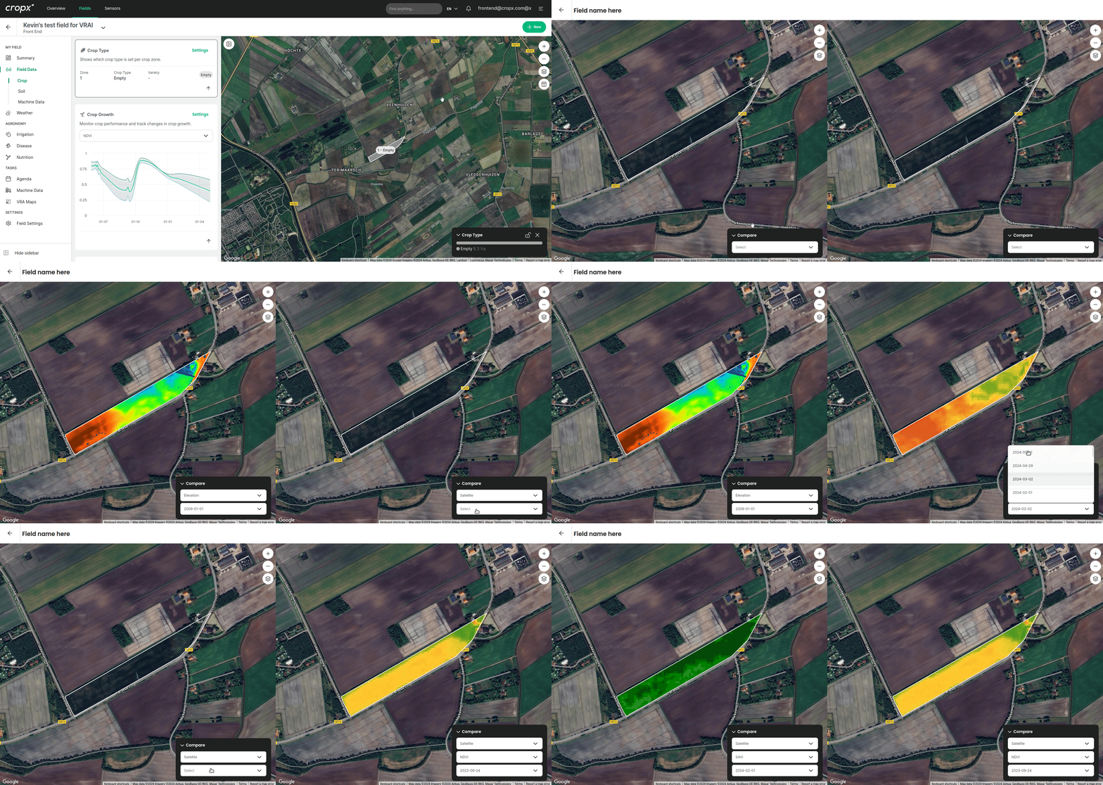
Compare data from the same field over time or through different filters, including satellite data.


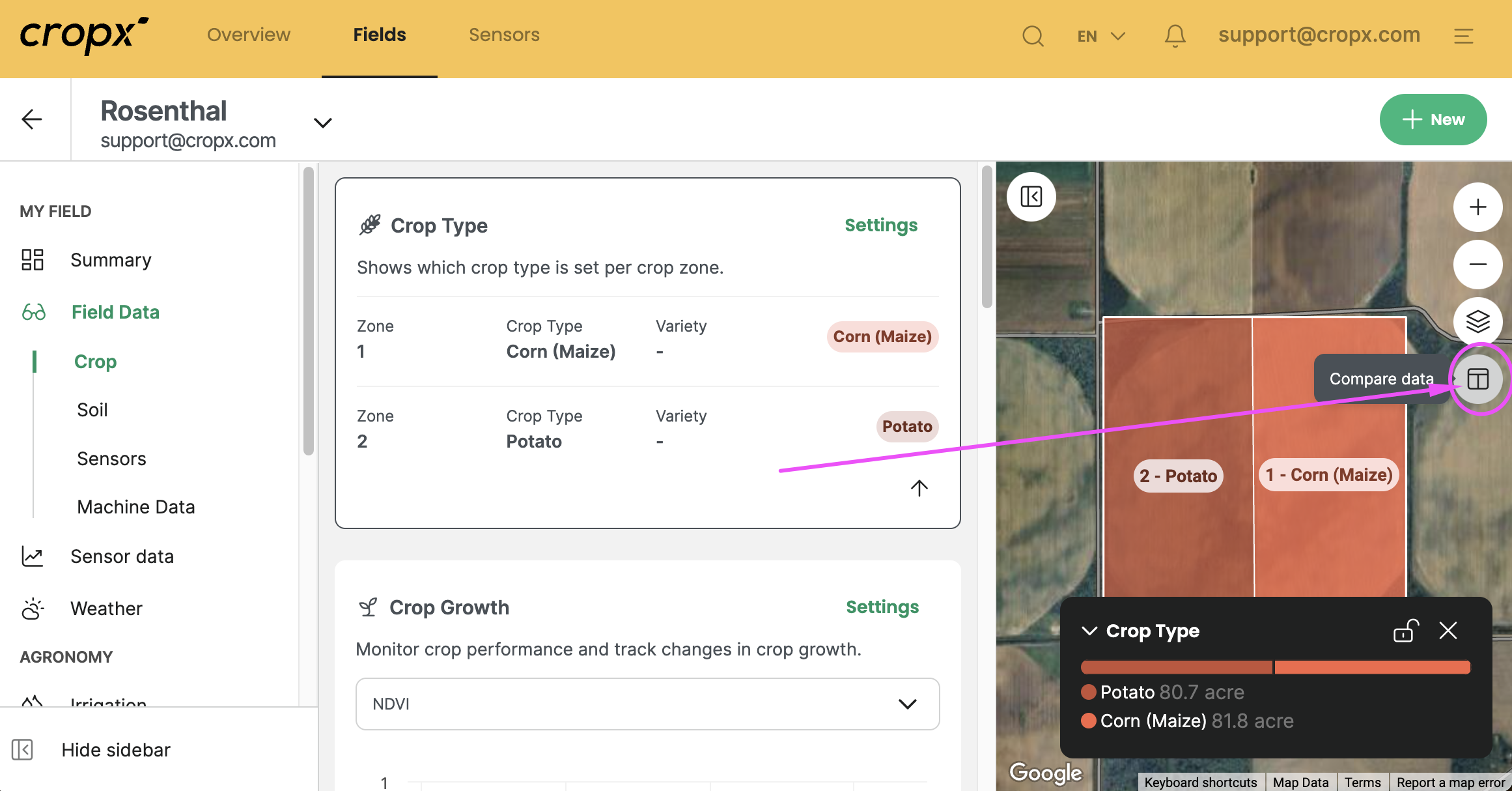
Navigate to the desired field, go to the Field Data to see the field map, and select the “Compare data” button under the map zoom and map layers on the right.
Related Articles
How to Create a Field
How to Draw and Create a Field Fields can be drawn on both the web and mobile app, although we recommend drawing them on web since it’s easier with a bigger screen and a mouse. We also recommend drawing a field before sensor installation to create a ...How to Delete a Field
You can archive a field through the Field >> Settings. This feature is useful for those fields that won’t have a sensor on them in the upcoming season and you would like to remove them from your fields list. 1. Open the Field Settings screen 2. Click ...Understanding Machine Data Capabilities in CropX
Machine Data Capabilities in CropX Author: Lud Uitdewilligen Updated: June 6th, 2023 Start with the basics of precision farming Adding CropX’s new machine data feature to the CropX system makes it easy for users to import data from almost any farm ...Field Settings: Crop and Irrigation System Setup
Add all soil, crop, and irrigation system details in the Field Settings Tab. You can also edit the field attributes such as field name, Farm, and boundaries, in the Settings tab. Review the below video for instructions about how to edit your crop and ...How to Reassign a Farm
You can reassign a farm on either the mobile app or the web app. Note: Fields cannot be reassigned, only Farms, so if you want to move a field to another user, move it under an existing or new Farm and then move the farm. Once the Farm is under the ...